
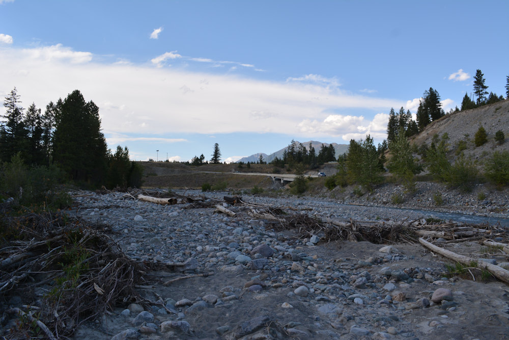
I will always have a soft spot for Wild Horse River Recreational Panning Reserve. It was the place my son and I found our first ever gold. That gold was neither big nor plentiful, it never is at Wild Horse, but it was still exhilarating. And it kicked off a summer road trip tradition that I’ll cherish to the end of my days.
This past summer, my whole family was passing through the area on a camping trip. Panning wasn’t high up on our itinerary, but since we were encamped at nearby Wasa Lake Provincial Park, I thought it would be fun to take mom to the place where the gold lust began. It turned out to be a brilliant idea.
Where is the Wild Horse River Recreational Panning Reserve?
The Wild Horse River Recreational Panning Reserve is one of fourteen such panning reserves established by the government of British Columbia. These are free places set aside for the public to hand pan for gold making them good places to learn the craft. Some are better than others (i.e. actually produce gold) and some are easier/closer to access than others. For folks like me in southern Alberta, Wild Horse River checks both those boxes.
It’s located in Fort Steele, off Highway 93, some 18km northeast of Cranbrook in the East Kootenay region of British Columbia. Fort Steele is primarily a heritage town and tourist attraciton though there are a handful of actual residences in the vicinity as well as Fort Steele Resort & RV Park. If you do go there, be sure to schedule a couple hours to check out the heritage village itself.
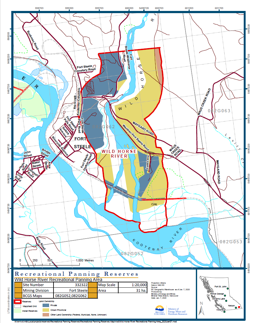
The panning reserve covers a roughly 1km x 3km swath of land straddling the Wild Horse River where it joins the Kootenay River. It’s one of the larger public panning reserves although significant portions of it underly private land which does complicate matters. However, most people pan the valley in, immediately next to, or near the river towards the north end, none of which is private land.
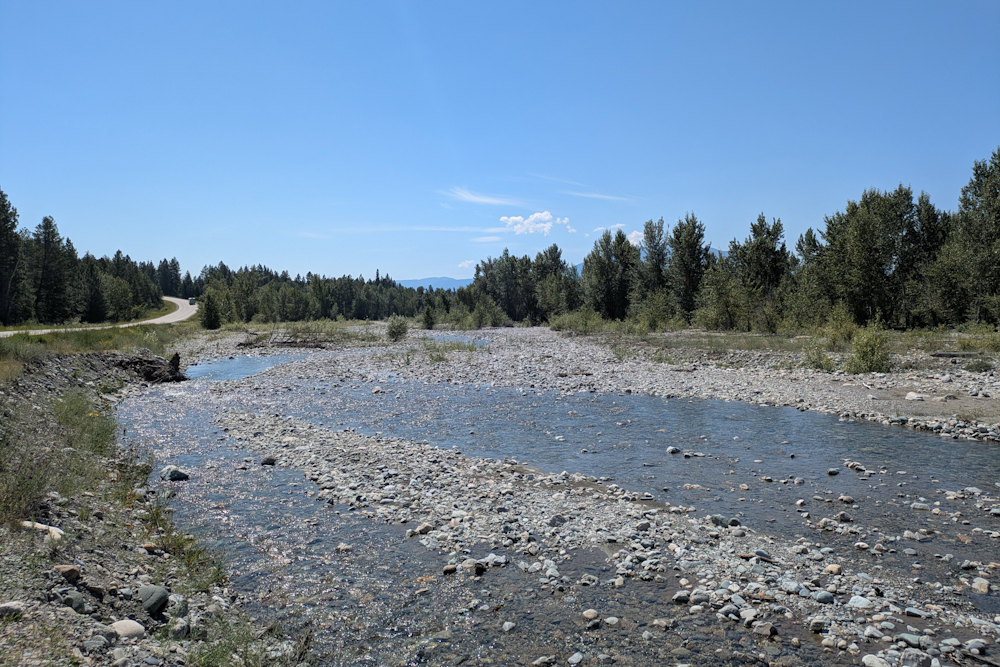
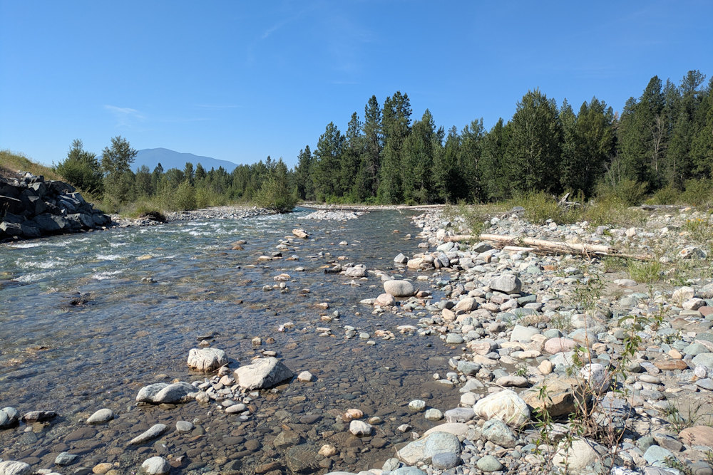
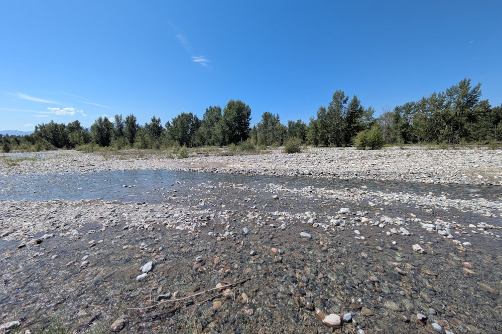
Like most BC rivers, water flow is seasonal. All that rock gets there thanks to water, so expect high water levels and rapid flow in the spring during the big melt. As summer passes, the river will tame and more land will become available for panning. The pictures in this post are from mid to late July for reference.
Where to Pan at Wild Horse River Recreational Panning Reserve?
Although there is plenty of land within the Wild Horse River Recreational Panning Reserve, the “easiest” place to try first is the west side of the Wardner Fort Steele Road bridge, a short distance east of the aforementioned RV park.
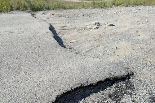
I put “easiest” in quotes because the access road to the flats below the bridge is a bit of a nightmare. The transition from asphalt to gravel is essentially a small cliff and there are potholes all the way down the dirt road into the valley. You’ll want to be overly careful so as not to bottom out your vehicle, something that can easily happen even with an SUV.
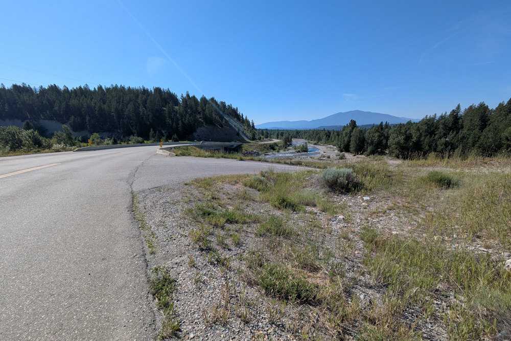
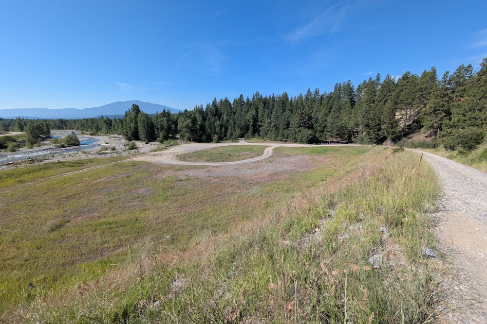
The access road makes a large loop within a flat, grassy area next to the river. You can park your vehicle in this area or, if you prefer shade, try to back it into the scraggy woods nearby. In the summer, it can get very hot here and the sun will cook your car so even a wee bit of temporary shade helps.
From here, you have full access to the space beneath the bridge as well as the full sprawl of the west side of the Wild Horse River all the way south to the Kootenay River. If you’re good with a hike, you can haul your gear to pan anywhere in this half of the reserve, but most folks stay near the bridge.
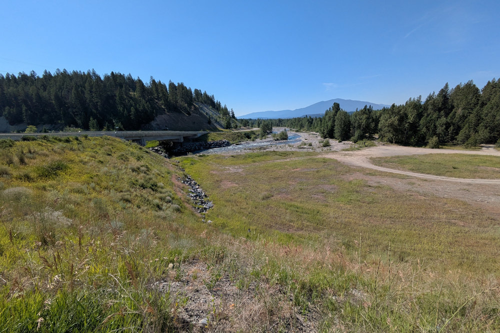
There is a second access road on the east side of the bridge. This, too, is a viable option but there is less space for parking than on the west side. The river valley is also much narrower leaving far less ground to pan. You can walk upstream but you might need to climb the valley wall a bit to avoid where the river runs right next to it. Or bring waders and walk through the river directly.
As always, be cognizant of where the panning reserve ends and claims begin.
You can access the east side of the river along a stretch of Wardner Fort Steele Road south of the bridge. There are a couple of pullouts along the road where you can scramble down a few feet to the river. You’ll sometimes find folks using these spots for sitting/playing in the water on hot summer days.
I should mention that on a previous visit, we did attempt to access the southern end of the panning reserve via the settlement roads to the west. We didn’t have much luck, becoming unsure as to what was publicly accessible with regards to the CPR tracks that bisect the area. Your mileage, and bravery, may vary.
What We Found at the Wild Horse River Recreational Panning Reserve?
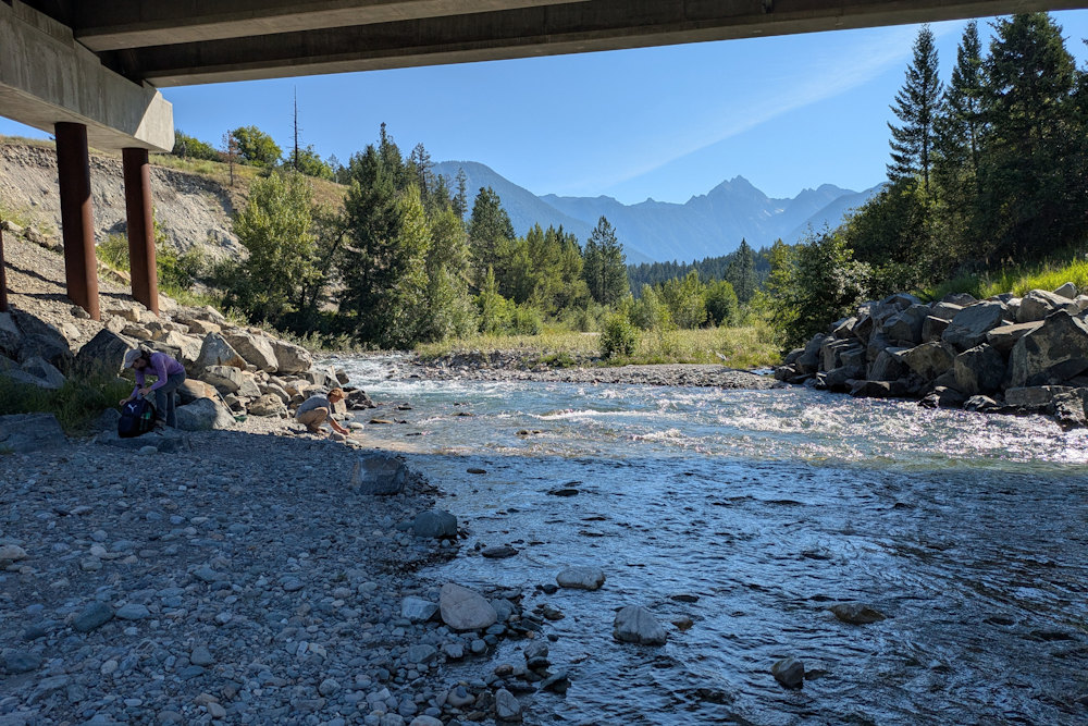
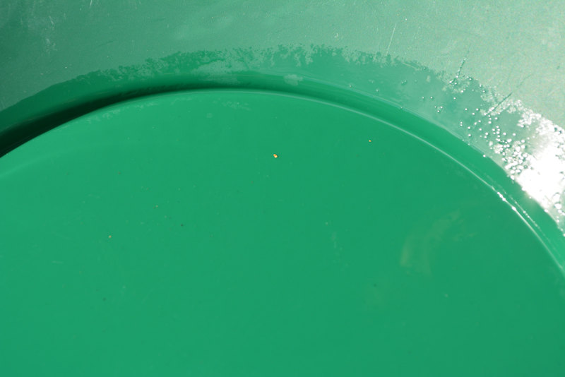
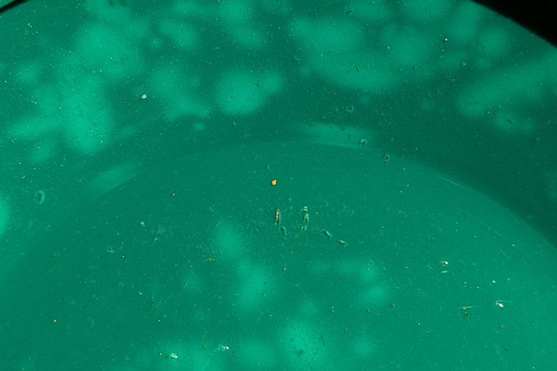
Our historic first ever gold find came from the river’s edge next to the rip rap beneath the northeast bridge abutment. Again, it wasn’t much and, in this pic, it looks rather pitiful all by itself, but oh boy was it ever exciting when it happened.
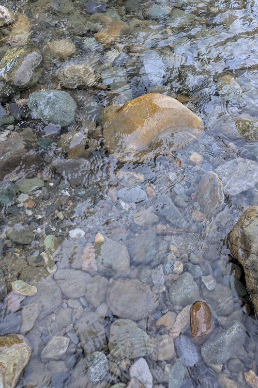
On our most visit, we had much better luck immediately west of the bridge, both in the rubble a couple feet away from the water and directly in the water, about a foot from shore. We tried panning material from the flowing riverbed based on a YouTube video I’d seen suggesting this was a surefire way to find gold at Wild Horse River Recreational Panning Reserve. Right, they were, though our finds were very modest and spotty at best.
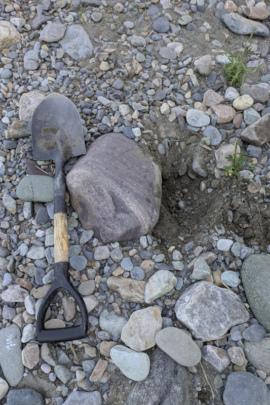
We had better success from gravels and sand dug out next to a football sized rock up the riverbank a couple feet from the water. This hole was surprisingly productive as we got multiple colours in several consecutive pans. Of the handful of times we’ve been to the Wild Horse River Recreational Panning Reserve, this was by far our best recovery.
We spent two, maybe three, hours panning that morning and came away with a tidy little collection of perhaps two dozen specks of gold. That didn’t pay for our gas back to the campsite, but it nonetheless boosted our spirits for the remainder of the day. Compared to our other times at this panning reserve, this was a haul.
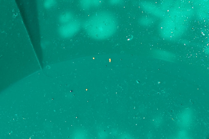
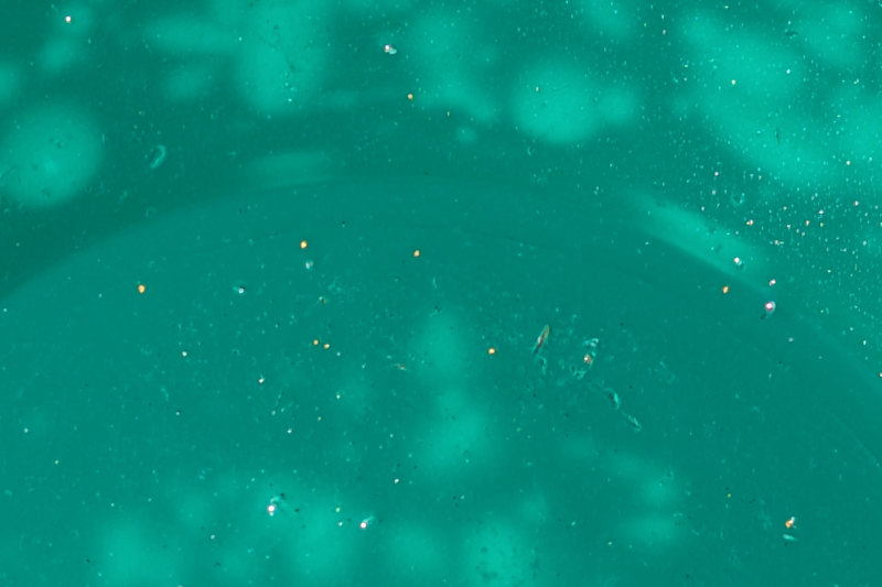
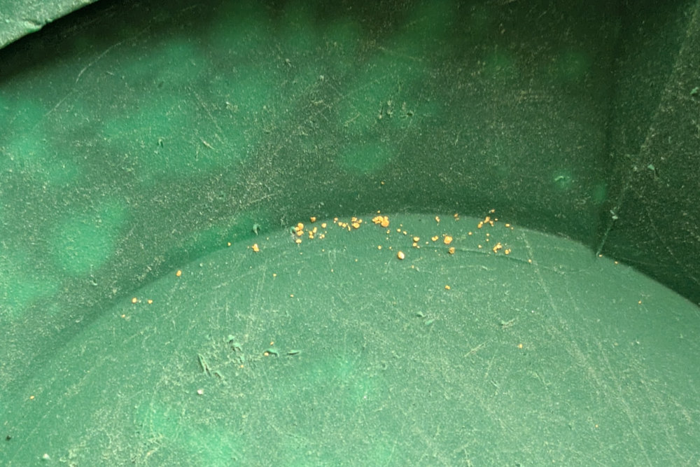
We did attempt to pan some areas further away from the bridge. Notably, this last trip my son waded over to the island immediately east of the bridge and tried a few pans there. I’ve also wandered a hundred metres or more south of the bridge, along the river on a previous trip as well as further away from the water on the flats. None of these proved successful from an admittedly limited number of attempts.
What, if anything, lies within the broadening floodplain in the two kilometers down to the Kootenay River remains a mystery to us. Other local, or more dedicated gold panners, can likely speak to that area far better than I. Maybe in the future we’ll allot more time and explore further into this space. Or maybe you’ll do so yourself. Let us know what you find.
I should also mention that the Wild Horse River Recreational Panning Reserve is also a fantastic spot for rockhounds. The rocks, cobbles, and boulders in the floodplain are wonderfully diverse and beautiful. You’ll find stuff for everything for creating a rock garden or to fill your rock tumbler.
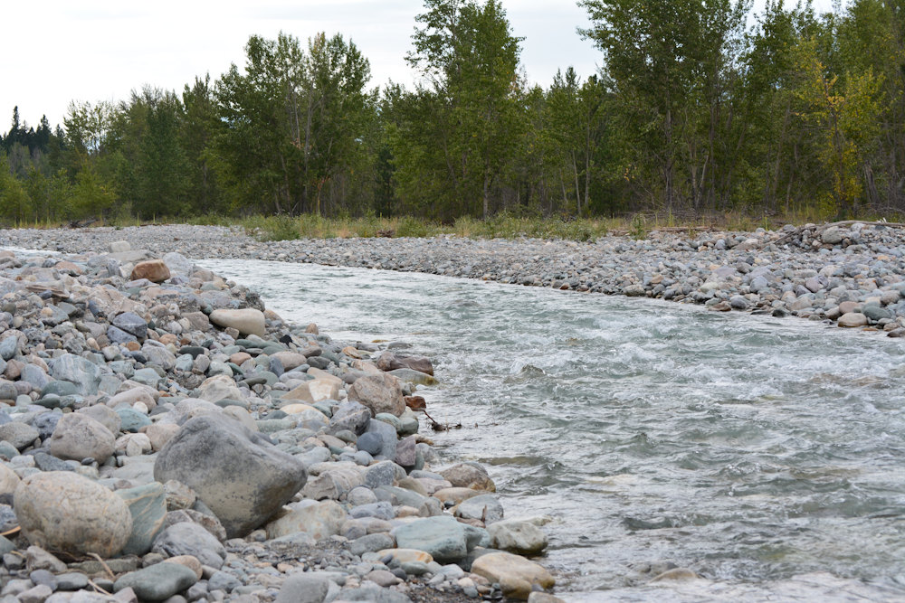
As for gold? Well, it’s definitely there. The area around the bridge is proven and as good a place as any to start. It won’t make you rich, and you are unlikely to find nuggets. I’d even go so far as to say other panning reserves such as Yale Town and Lytton are more prolific. But it’s a nice spot to start your gold panning adventure, particularly if you reside (or are vacationing) in Southern Alberta and Southeaster BC. It’s where we started our gold panning adventures and will forever remain a happy memory.