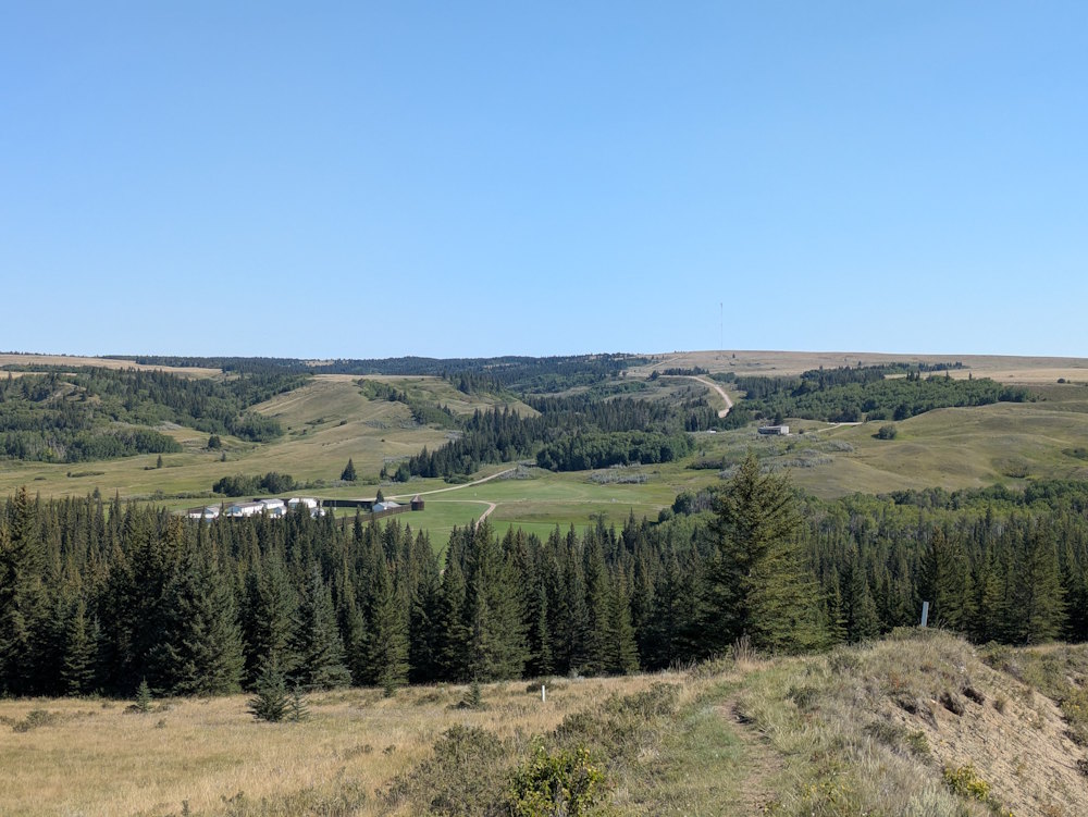
Visiting Fort Walsh National Historic Site is as much a trip into the middle of nowhere as it is into the past. You’ll find yourself wanting a little something more than just viewing the interpretive centre and fort reconstruction to make a day trip worth your while. Well, I’m happy to tell you that hiking the beautiful Battle Creek Trail is just that something.
An out-and-back single loop, Battle Creek Trail is the only hike available at Fort Walsh. Okay, that’s not entirely true. Mapping shows a second trail, but at 600m long, Metis Trail is hardly a hike.
By comparison, Battle Creek Trail is either 6.0km, 6.5km, or 7.9km in length depending on your source. The first two come from conflicting Parks Canada webpages while the latter is from AllTrails.
Some of this discrepancy stems from what is considered the trailhead but even that doesn’t account for the additional kilometre and a half AllTrails envisions. Regardless, it’s a genuine hike and will require a couple hours to complete.
Battle Creek Trail Picnic Area and Trailhead
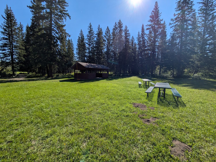
I consider the trailhead to be the picnic area in the woods southwest of the fort itself. I think Parks Canada concurs with this assessment. This grassy area surrounded by conifers and shrubs on the edge of Battle Creek is a lovely spot for a lunch before your hike. It presumably also serves as a gathering spot for school field trips.
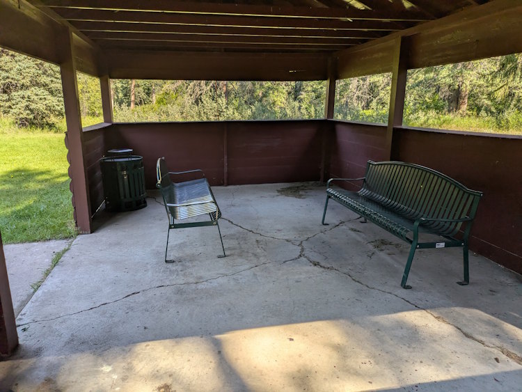
A wooden, open-air picnic shelter dominates the area. Several picnic tables are available, somewhat ironically all positioned in the grass outside the picnic shelter. When we were there in 2025, only a couple park benches and a garbage can remained inside the shelter. Kind of backwards, if you ask me.
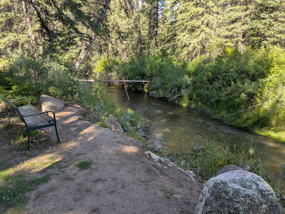
An additional park bench was located next to Battle Creek offering a calm spot to fuel up with a peanut butter and jelly sandwich. I won’t kid you; the view here is modest.
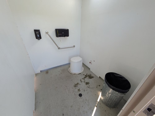
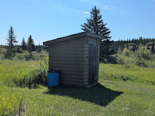
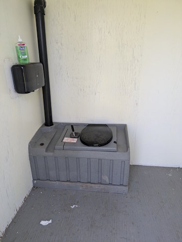
A pit toilet is also present which is convenient, I suppose. If you prefer modern facilities, the interpretive centre has full-service bathrooms. Use them before heading out.
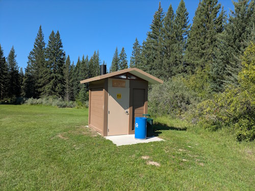
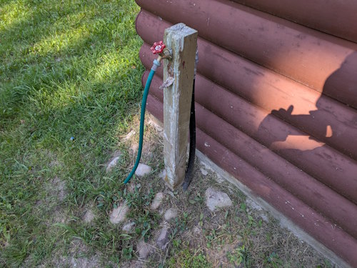
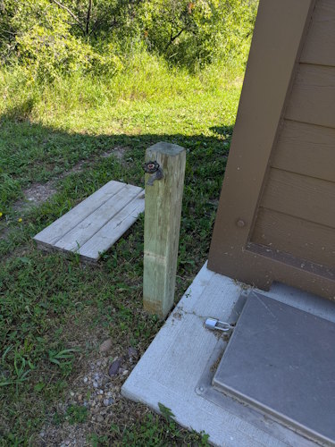
Water taps are located beside both the picnic shelter and the pit toilet. These, in part, are used to water the grass and keep the shelter moist during the hot summer. Similar measures are used at the fort to help limit any damage should wildfires threaten.
I honestly don’t know if this water is potable or not. There is no signage suggesting one way or the other. You will need water for the hike as it can get quite hot and sunny in these parts. You can always try the tap water, but my gut told me to fill water bottles at the interpretive centre just to be sure.
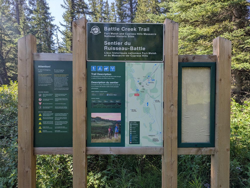
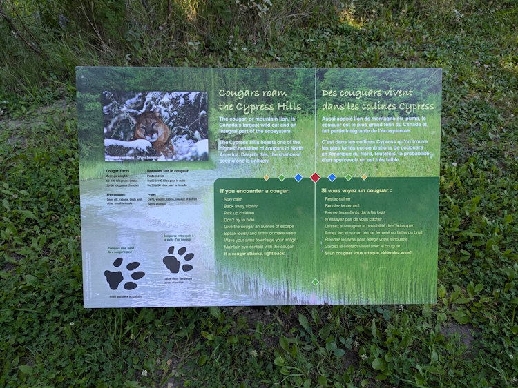
And there is signage at the picnic area. A large information board includes a trail map with a description of what lies ahead along with a suite of rules and a guide on what to do in case of emergency. Nearby, a smaller sign warns of cougars in the Cypress Hills and how to deal with them in the rare instance you encounter one.
The Out Portion of Battle Creek Trail
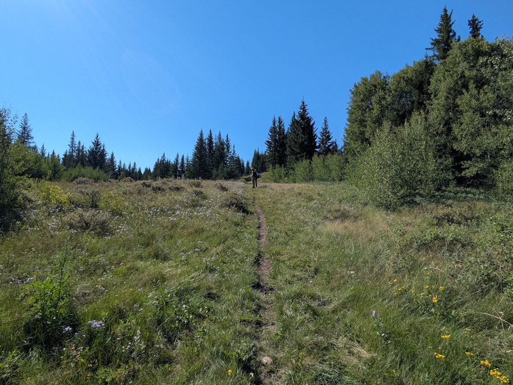
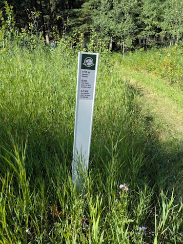
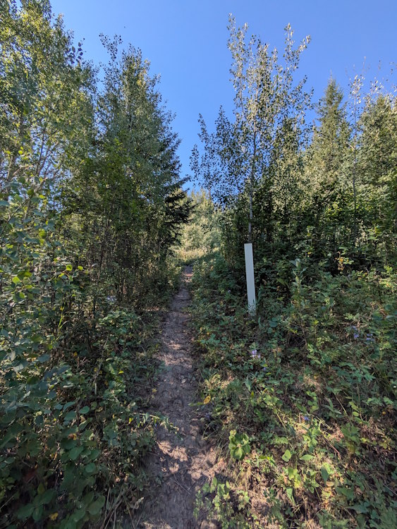
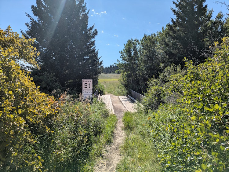
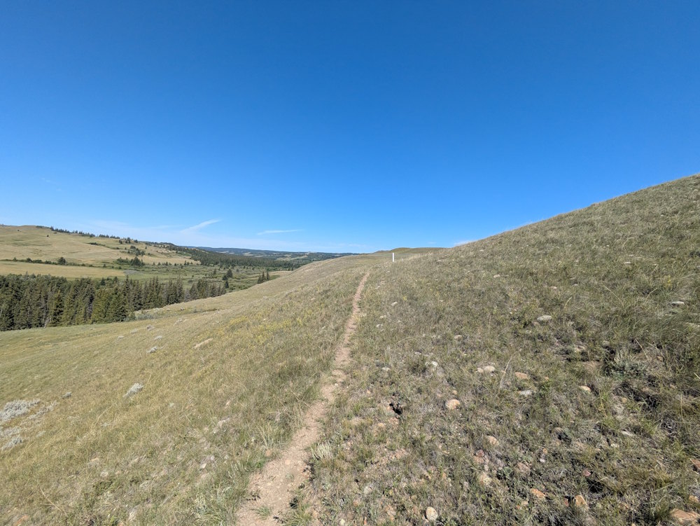
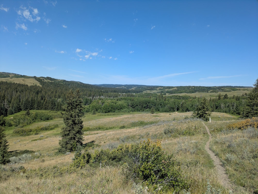
You begin your Battle Creek Trail hike by crossing a bridge over the creek and then ascending out of the wooded area into the grasslands and meadows. The trail is a foot-trodden, single-file path that winds up, down, and around west of the Battle Creek. Trail markers along the way keep you informed of distance traveled, distance remaining, and elevation.
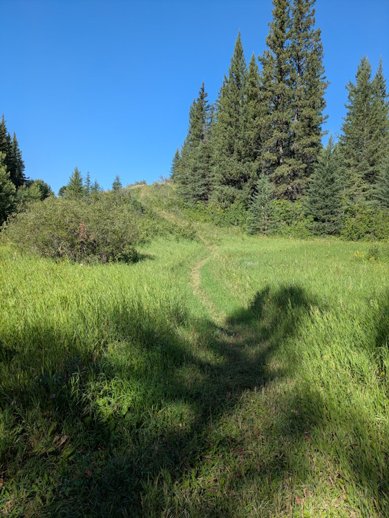
While not a mountain hike, there is meaningful elevation change. AllTrails lists it as moderate difficulty and that feels accurate. Getting up to the top of hills is great for views but will challenge you a bit if your physical conditioning is less than stellar. Don’t overdue the peanut butter sandwiches before departing.
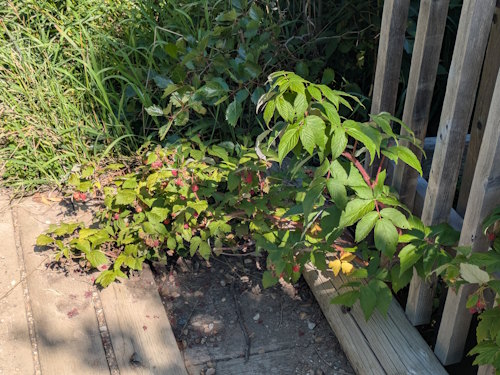
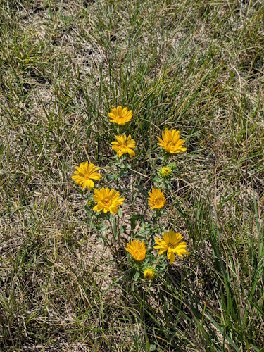
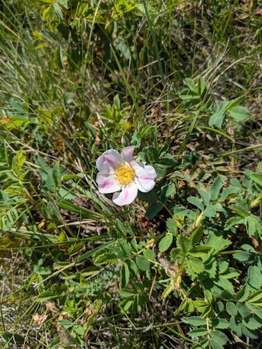
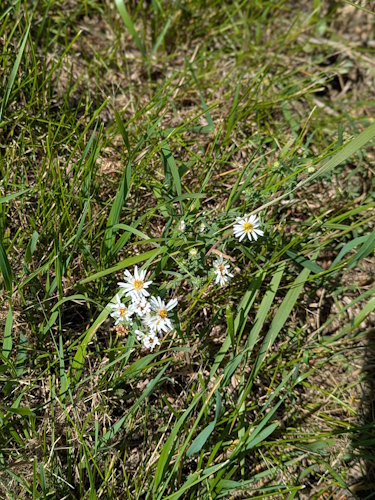
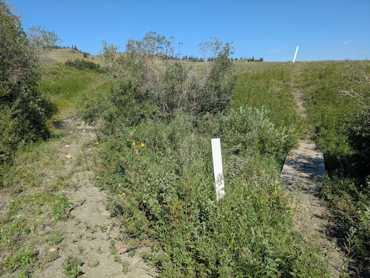
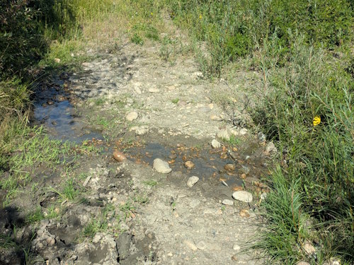
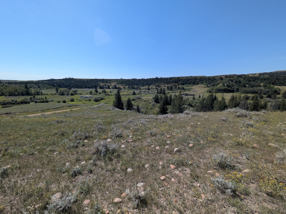
For most of the out portion of the hike, the trail sticks to open grassland. Three brief valleys are crossed where you’ll encounter mud, shrubs, berries, and wildflowers. One of these crossings even sports a wooden bridge over actual water. All three of these little valleys surely experience a torrent of moisture during rainstorms.
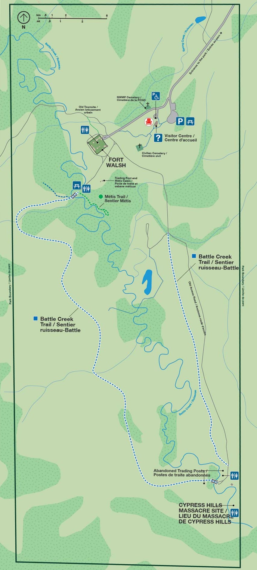
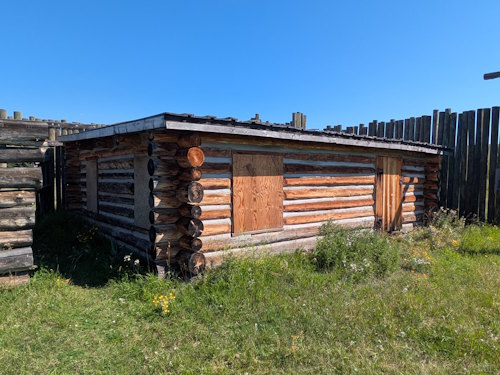
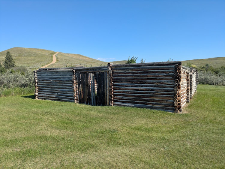
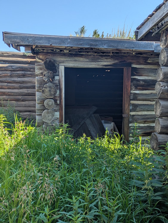
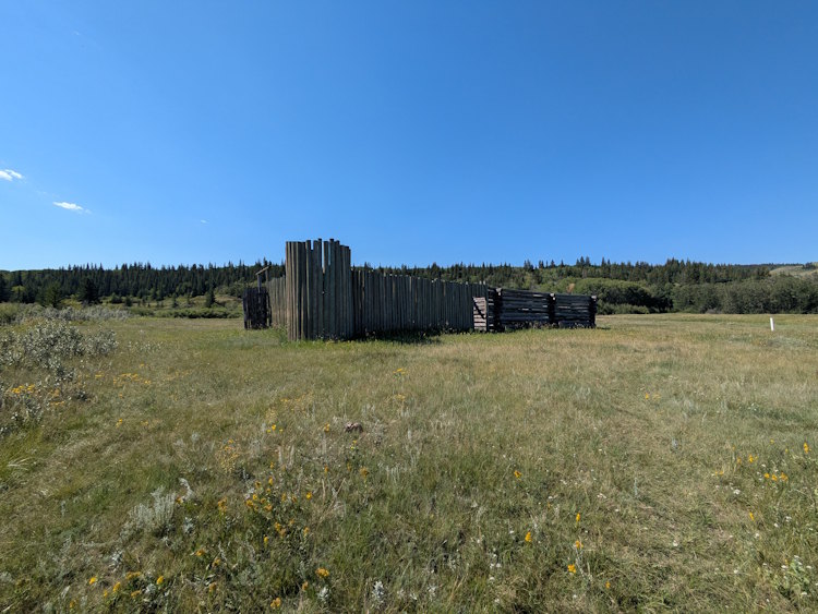
Eventually, the Battle Creek Trail swings to the east and crosses back over the creek via another bridge. In doing so, it passes two sets of structures identified as abandoned trading posts on maps.
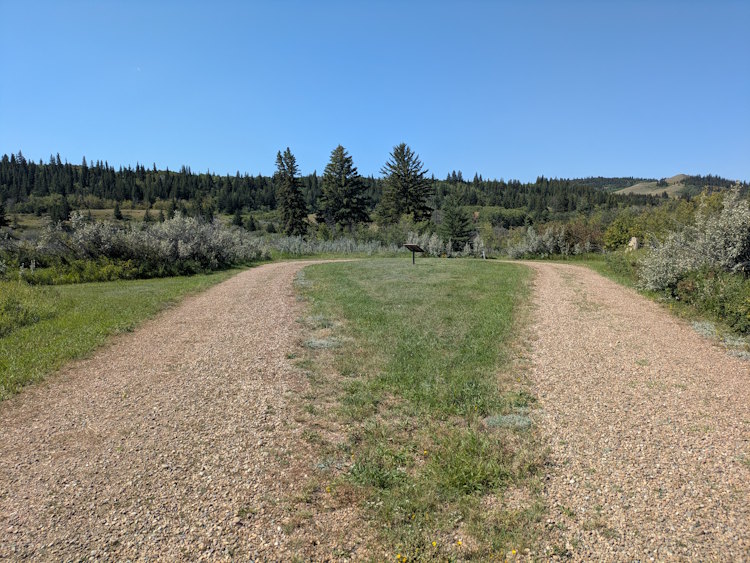
It is unclear why these structures have been abandoned. They appear to be recreations, much like the fort itself. There’s also a gravel road from the fort that ends here suggesting that at one time these structures were staffed and programming occurred here.
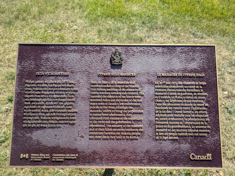
Mapping also indicates this is the actual location of the Cypress Hills Massacre that triggered the creation of the NWMP and building of this fort. That’s some heavy history and I’d have expected more than dilapidated log buildings, an outhouse, and a faded sign commemorating it.
You can snoop around the structures. Most of them with an “inside” are locked up. Minimal maintenance appears to be happening beyond some minor mowing, but weeds and uncut grass are rampant. I found this to be a disappointing destination for the hike. We rested for a few minutes before continuing.
The Return Portion of Battle Creek Trail
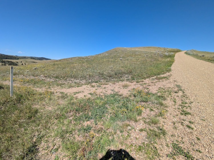
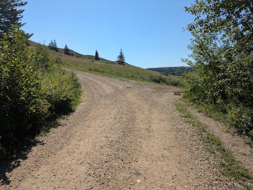
Battle Creek Trail begins its return to the fort with an approximately 250m segment on that gravel access road. You use the road to climb up onto a bald ridge along which much of the remainder of the hike follows east of the creek.
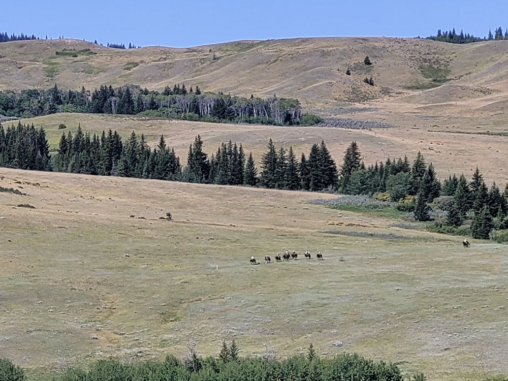
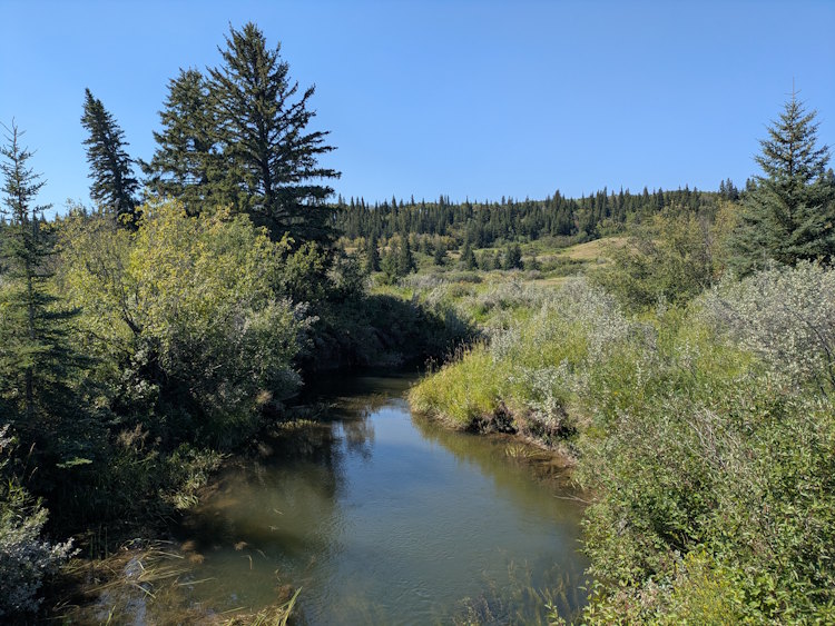
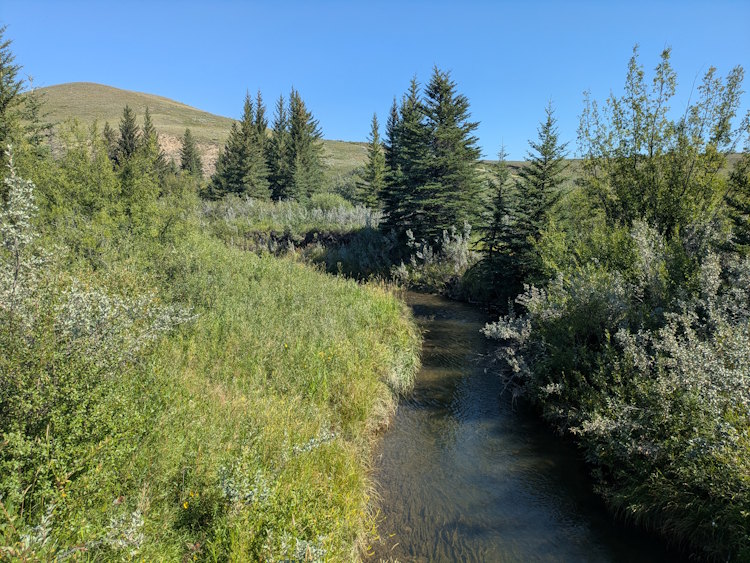
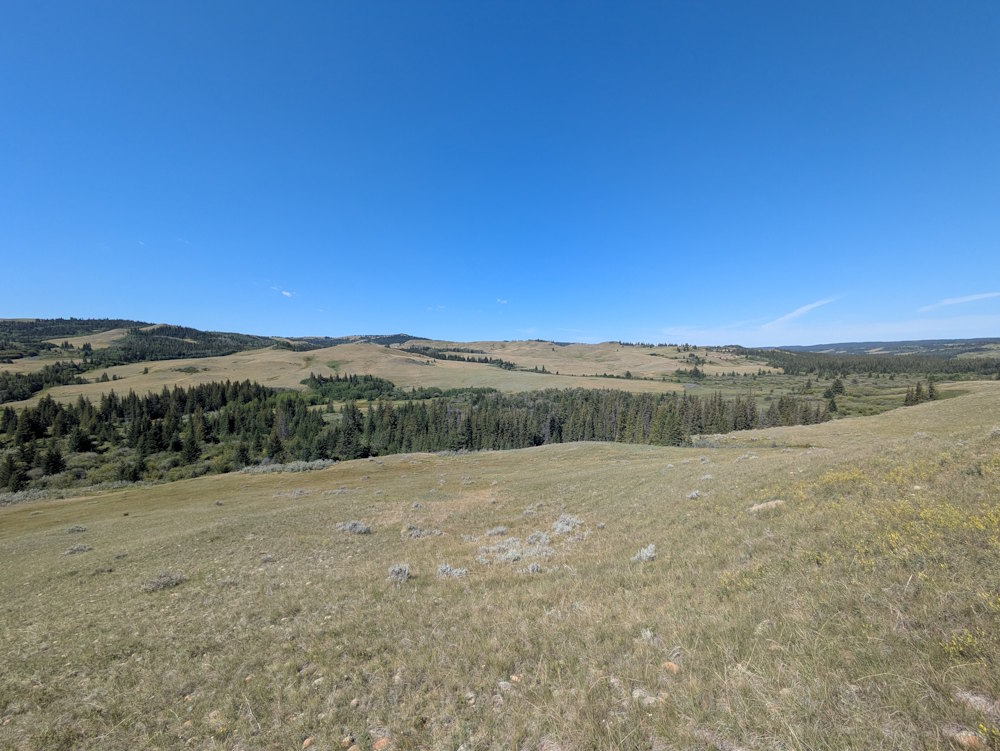
This is easily the best part of the hike and all the reason needed for doing it. The ridge provides wonderful, unobstructed views of the to the west. The Cypress Hills are an oasis in an otherwise harsh prairie landscape and seeing them from this vantage point left me both pleased and introspective. I wonder if the horseback riders we saw in the distance felt likewise.
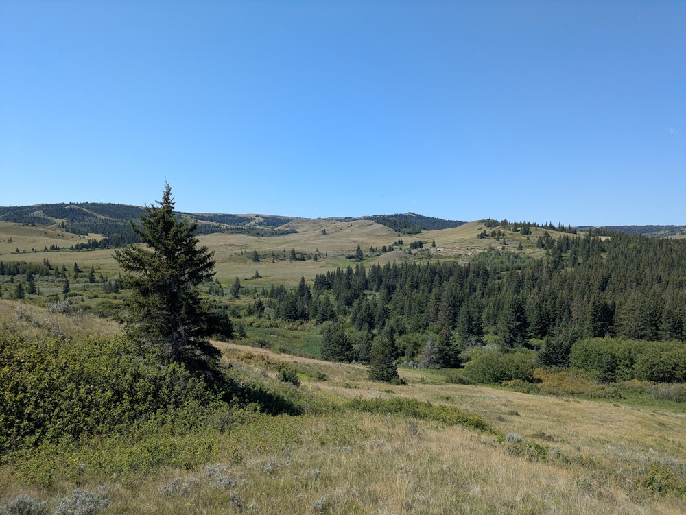
After roughly 2km of sweeping vistas, you again descend and rejoin that gravel access road for the final 800m of the trail finishing up at the fort entrance. The wide gravel road allows your crew to walk side by side and regale each other with impressions from the single file hike just completed.
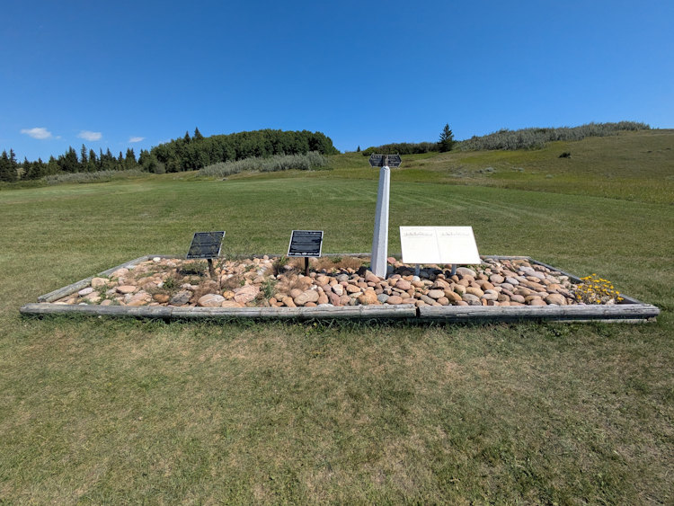
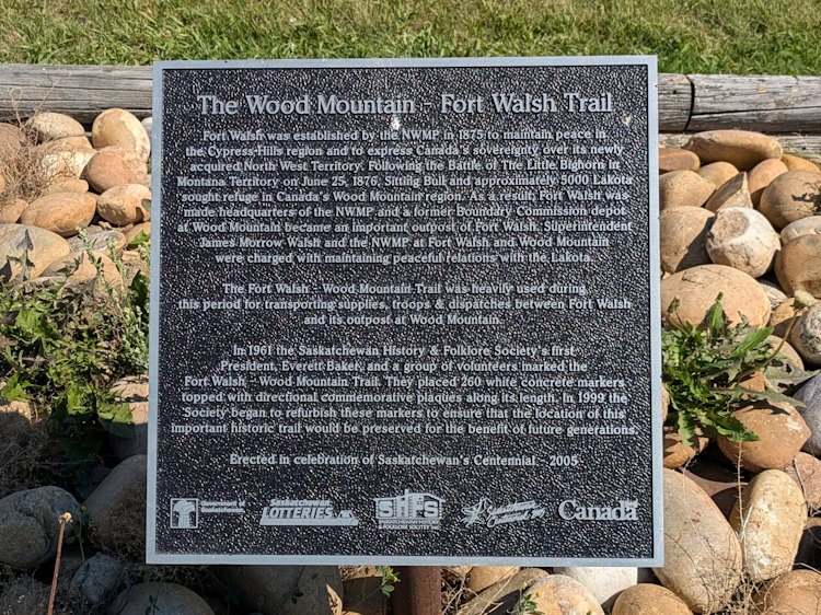
As you approach the fort, you’ll pass one final point of interest where a cairn, sign, and two plaques share some final history of Fort Walsh. And with that, your Battle Creek Trail adventure is done.
If it is hot like it was the July day we did this hike, you’ll be good and ready to escape to the air-conditioned comfort of the interpretive centre. Perhaps an ice cream treat is to cool you down is in order. A generous drink of cold water certainly is.
I really enjoyed hiking the Battle Creek Trail and recommend it to anyone visiting the Fort Walsh National Historic Site. The fort and the hike made for a lovely half-day side trip during our camping excursion at Cypress Hills Interprovincial Park Centre Block. Be sure to check it out if the next time you’re in southwest Saskatchewan.